Contour Surveys

Contour Surveys

Any land (or elevations) with contours depict the ‘undulations’ on the surface of the site or area in question and these are normally shown at quarter or half metre intervals related to the site or Ordnance Survey Grid System and height datum. On elevations these can show irregularities with the contours depicted at 5 − 10mm and could show ‘sags or bulges’ in the façade or structure. Data supplied by CD Surveys or by a third party can be processed, then presented as a fully edited three dimensional Digital Terrain Model (DTM) for the use in Engineering Design on Micro station MX (MOSS) or the PDS design systems.
View Product on Company Website

Other Products and Services from CD Surveys Ltd
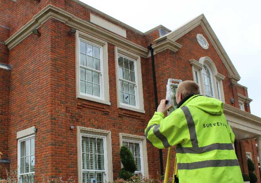
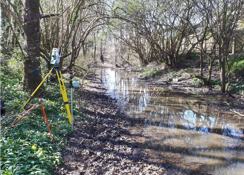
Boundary Disputes

Boundary Disputes

This area of work generally relates to problems over the curtilage of a property and should be agreed by the owners where at all possible to avoid the stress and costs of ‘going legal’. Solicitors fees are very expensive along with the time and effort to try and agree a legal boundary. A judge will review all information submitted at the time and the outcome may not always suit the decision wanted. Our advice would be to try and avoid this at all cost unless it is blatant whereas photography, statements, historical advice/notes are very useful to build a case. Evidence of any ‘upkeep or maintenance’ together with any other information is essential and the more robust the information is the better chance you have of getting a suitable result.
Building Monitoring

Building Monitoring

Building monitoring or any structure which may ‘move’ should be checked for movement. This can be in the form of ‘Tell Tales’ adhered to the fabric, Studs drilled and placed at strategic points to then be accurately levelled or targets adhered to the structure to be used in the monitoring of either or all of the 3 axis. Any movement in these 3 axis, ie. differences in Eastings, Northings and Height would be observed and collected using accurate electronic instruments from robust survey stations away and clear from the site.
‘As Built’ Surveys

‘As Built’ Surveys

We can provide details and plans of the project including the “as constructed” stage of works, i.e. these “as built” surveys are very useful to determine whether the construction tolerances have been met, for instance, lift shaft verticality, the levelling of floors and accuracy of the ‘service holes’ within the site are a few instances that come to mind.

A subset of the layout of buildings, but fundamentally distinct, piles are the stress points of any good design and precise location is crucial and cannot simply be corrected at a later stage. Naturally we take great care with all our work and consider thorough checking of all work and data to be a large part of the finished process. For this we prefer to have access to all electronic data from the architects and consulting engineers to verify that all the information “fits” together before we go to site.
cdsurveys_logo

CD Surveys Ltd

Pentire Stable, Fordbridge Road, Sunbury On Thames, Middlesex, TW16 6AX, United Kingdom

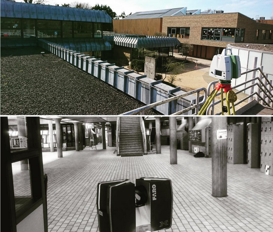
CD Surveys Ltd are a Middlesex-based surveying and engineering company specialising in architectural solutions for interior and exterior structures. Specialising primarily in land surveying, site engineering, measured building surveying and 3D laser scanning, our company has an impressive wealth of experience in professional surveying and consultancy for commercial and industrial projects. We are a very customer-focused company providing professionalism and efficiency across all applications, working closely with all clients to ensure that they receive excellent service.