Building Monitoring
Other Products and Services from CD Surveys Ltd
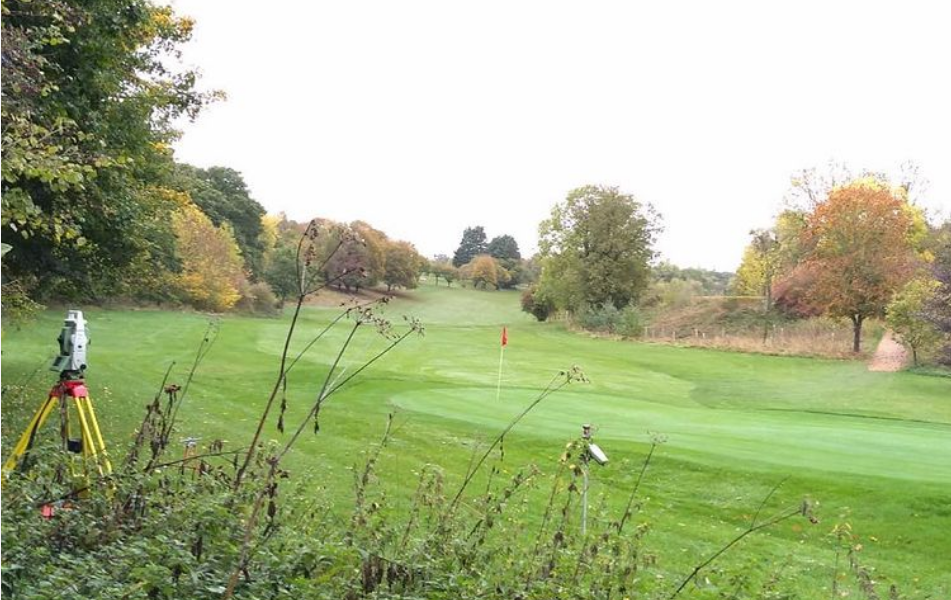
Site Engineering

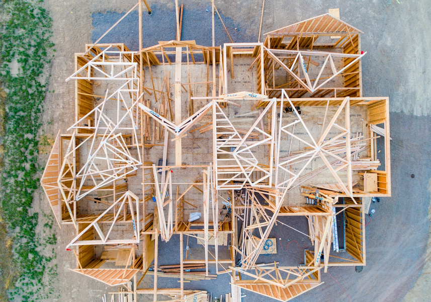
DJI Aerial Drone Survey Systems
Our aerial surveying capabilities have been expanded with two professional, survey-grade DJI platforms: the DJI Matrice 4E and the DJI M300 RTK. These state-of-the-art systems enable rapid collection of highly accurate aerial data, making them well suited for construction, land development, and infrastructure projects.
Aerial imaging offers a safe, precise, and efficient way to capture detailed site information from above. Drone surveys significantly reduce time spent on-site and allow access to hazardous or hard-to-reach areas without risk. The resulting high-quality datasets integrate seamlessly with ground surveys and CAD deliverables, providing reliable and efficient project outcomes.
Building Elevations

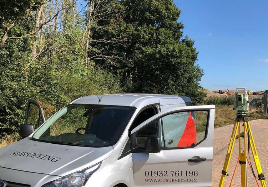
CD Surveys Ltd
Pentire Stable, Fordbridge Road, Sunbury On Thames, Middlesex, TW16 6AX, United Kingdom
CD Surveys Ltd are a Middlesex-based surveying and engineering company specialising in architectural solutions for interior and exterior structures. Specialising primarily in land surveying, site engineering, measured building surveying and 3D laser scanning, our company has an impressive wealth of experience in professional surveying and consultancy for commercial and industrial projects. We are a very customer-focused company providing professionalism and efficiency across all applications, working closely with all clients to ensure that they receive excellent service.