
Heritage Basement Plan
Heritage Basement Plan.
Other Products and Services from South West Surveys
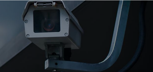
Utility Surveys
We can offer full utility mapping surveys, drainage surveys & CCTV inspections, utilising the latest ground penetrating radar (GPR) and electromagnetic location (EML) equipment technologies.
Our surveys include, but are not limited to, accurate depth and location data for cables, pipes, ducts and drainage routes which will be positioned to OSGB36 and ODN height.
Utility surveys can be plotted on top of a new or existing South West Surveys topographic survey, or as a stand-alone service.
Our utility surveys can also be provided as a 3D DWG file or as a Revit model.
In some cases when a full utility survey isn’t required, South West Surveys can also offer a desktop utility survey. We can source relevant records from utility providers and supply this information in a single document.
For an additional cost, we can provide coal mining and tin mining reports.

Measured Building Surveys
Our choice of technology, laser scanning, is quick, precise and unobtrusive. We can carry out our work without disturbance to the fabric of the building and with minimal disturbance to the occupants. At South West Surveys we cover all of the UK, with many jobs being local to us in Bristol, Bath, Cheltenham and Gloucester. We work on a range of projects, from small properties to all types of industrial buildings, warehouses, retail spaces, historic and listed buildings.

Land & Topographic Surveys
To obtain precise measurements, we use GPS survey equipment in order to locate fixed points of an area of land. These points are used as reference markers, and they are used to demonstrate the height and base of the specified area. With these markers you can produce a CAD (computer-aided-design) drawing, which illustrates a highly detailed and accurate topographical map of your land.

South West Surveys
28 Rudgeway Park, Rudgeway, Bristol, Gloucestershire, BS35 3RU, United Kingdom
South West Surveys provides surveying services across commercial, industrial, residential, and local government sectors. Our extensive portfolio includes diverse projects from residential renovations to prestigious heritage sites. We specialise in producing as-built 3D models for BIM and visualisation purposes. Our expertise extends to modelling pump houses and converting laser scans of listed statues into solid mesh models. Collaborating with architects, town planners, engineers, and private clients, we employ advanced equipment like Trimble robotic total stations and 3D laser scanners.