‘As Built’ Surveys
A subset of the layout of buildings, but fundamentally distinct, piles are the stress points of any good design and precise location is crucial and cannot simply be corrected at a later stage. Naturally we take great care with all our work and consider thorough checking of all work and data to be a large part of the finished process. For this we prefer to have access to all electronic data from the architects and consulting engineers to verify that all the information “fits” together before we go to site.
Other Products and Services from CD Surveys Ltd
Flood Risk Assessment
Volume Calculations

Section 38/109 Drawings
Section 38 relates specifically to the creation of new highways upon land in the ownership of anyone other than the highway authority. It is an agreement between the land owner and the authority for the construction of new highway and the ultimate adoption by the authority as a public highway.
The agreement secures a bond for the cost of the works, to enable completion of the works by the authority upon default by the developer, usually for reasons of insolvency but occasionally in instances where the developer has failed to complete the works within a specified or ‘reasonable’ period of time. The agreement also identifies fees payable for supervision by the adopting authority. Any developer or his consultants must enter into a process of submitting detailed design proposals to the authority for approval prior to construction works and sometimes the agreement will not be entered into until the highway authority has been satisfied that all of its criteria can be met.

CD Surveys Ltd
Pentire Stable, Fordbridge Road, Sunbury On Thames, Middlesex, TW16 6AX, United Kingdom
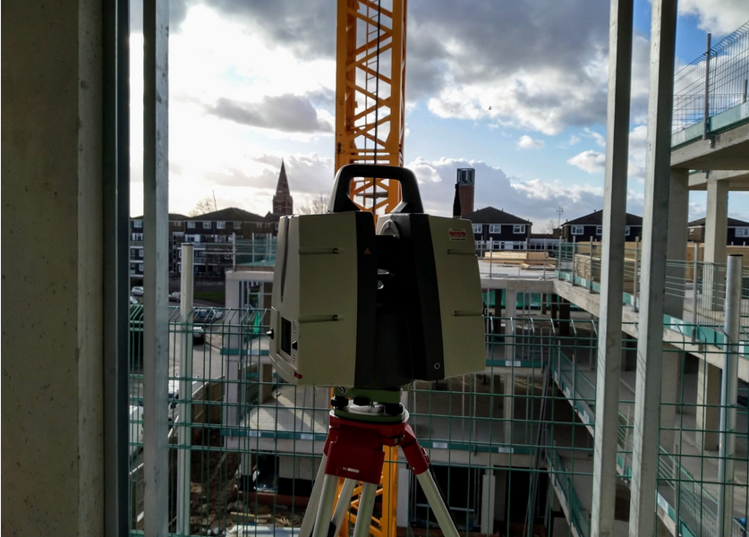
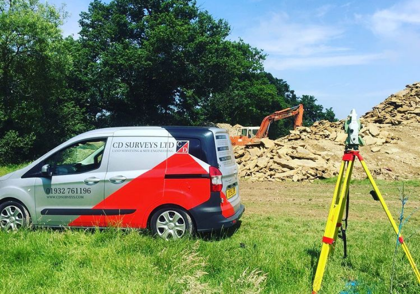
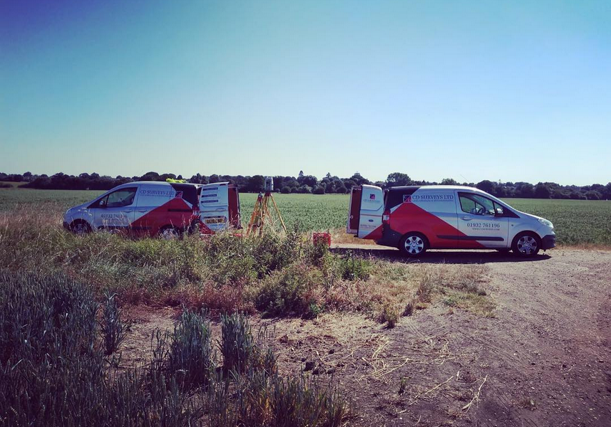
CD Surveys Ltd are a Middlesex-based surveying and engineering company specialising in architectural solutions for interior and exterior structures. Specialising primarily in land surveying, site engineering, measured building surveying and 3D laser scanning, our company has an impressive wealth of experience in professional surveying and consultancy for commercial and industrial projects. We are a very customer-focused company providing professionalism and efficiency across all applications, working closely with all clients to ensure that they receive excellent service.