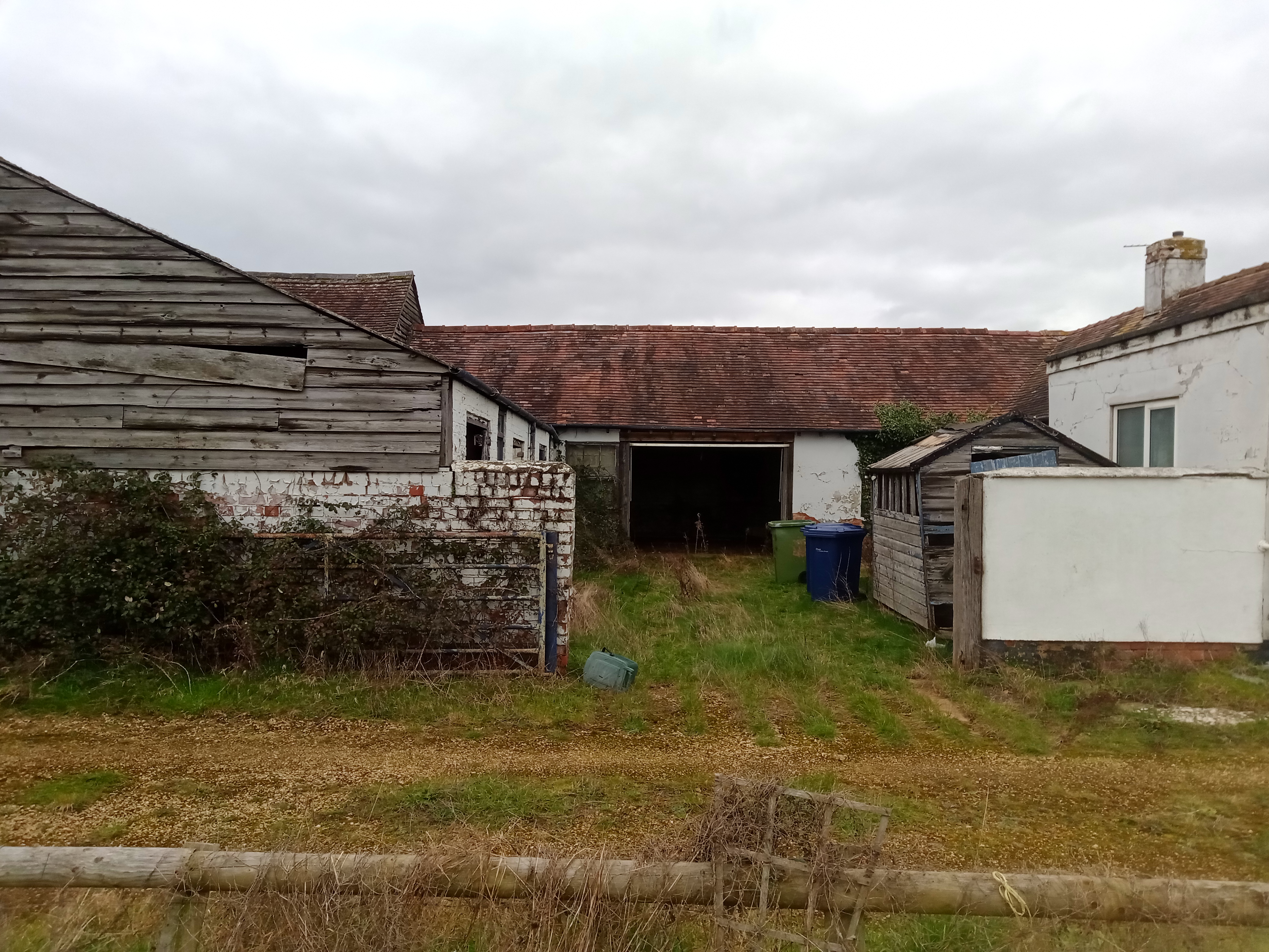
Phase I: Desk Study
Phase I: Desk Study
Why might you need a Desk Study?
- For submission at pre-planning application stage for a proposed development.
- To discharge an existing contaminated land planning condition.
- For submission to building control.
- To determine potential liabilities from contamination during a land sale.
What is a Desk Study?
A Phase I contamination assessment, or ‘Desk Study’ is the first stage of any contaminated land risk assessment. This preliminary assessment aims to highlight any potential risk that contaminated land poses to a proposed development.
A desk study compiles information about a site’s historical usage from multiple data sources including:
- Historical mapping
- British Geological Survey (BGS) mapping
- Historical BGS borehole records
- Groundwater maps
- Surface water maps
- Available Environment Agency datasets
A key part of the Phase I assessment is the ‘walkover survey’ (or reconnaissance survey). This survey identifies any evidence of potential contamination on the site, for example, petrol storage tanks or oil spills.
Compiling all of this information allows the creation a 'conceptual site model' or CSM. A CSM identifies and summaries all of the likely contamination sources-pathway-receptor linkages present at a site.
What is a Conceptual Site Model?
For a risk from contamination to be present on site, there must be a source of contamination present on site (e.g. historically infilled land), a receptor at risk of harm (e.g. future residents) and a pathway or mechanism that connects them.
Sources
Given the UKs extensive industrial history, there could be any number of potential contaminant sources present at a site. Here are just a few we frequently encounter at TEC:
- Landfills
- Fuel storage.
- Metal refineries.
- Industrial factories and warehouse.
- Historical military camps and ammunition factories.
Receptors
A receptor is an individual or location that may at risk from contamination. The most commonly identified receptors are:
- Current and future human occupants of a site
- Environmental bodies (surface or groundwater)
- Ecology (plants and animals)
- Buildings or structures
Pathways
A pathway is a mechanism through which a receptor comes into contact with contamination. Whilst there are many potential pathways, the most common involve direct contact and ingestion of contaminated soils.
Other Products and Services from TEC | Tweedie Evans Consulting Ltd
Waste Testing & Classification
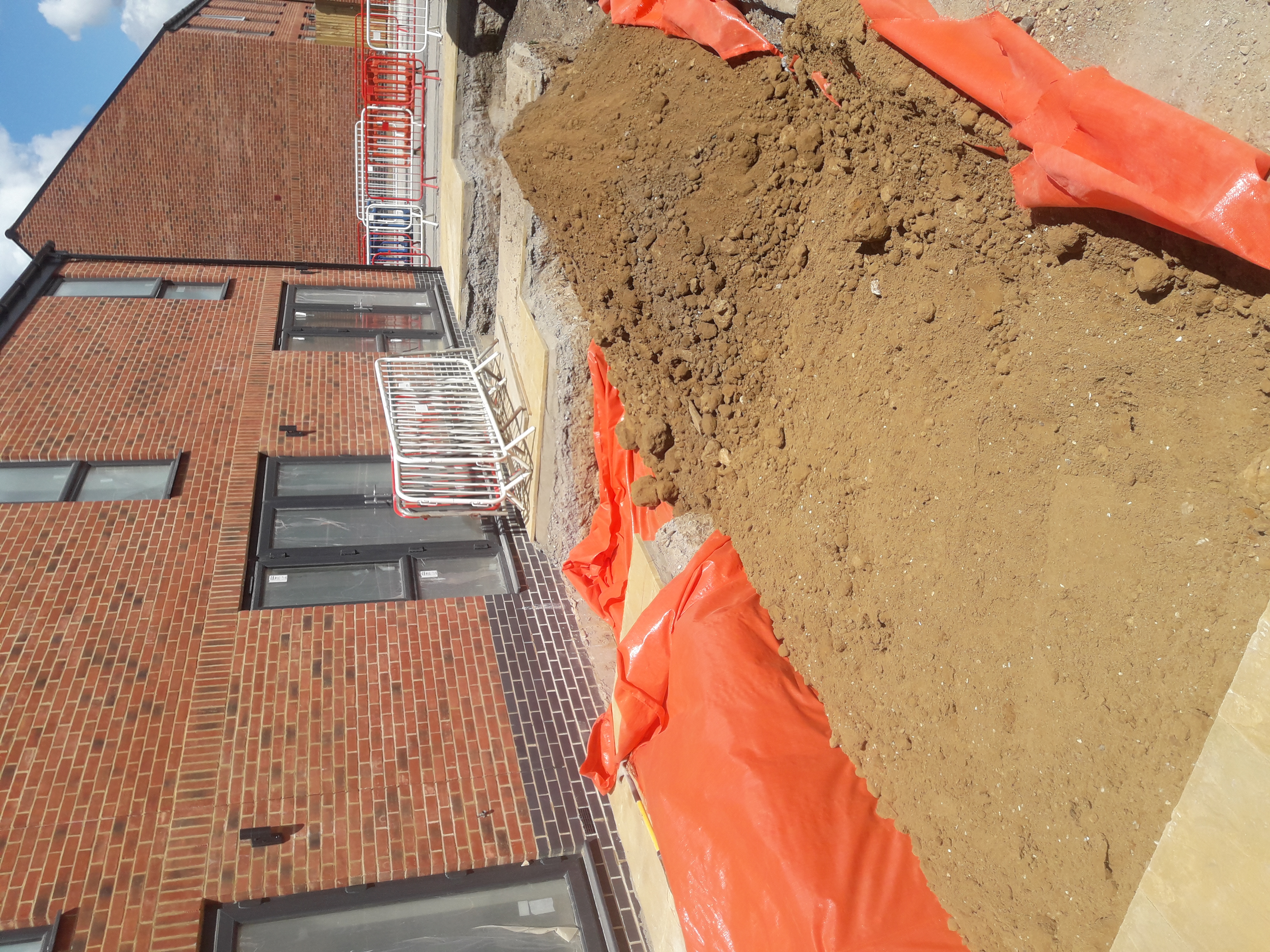
Remediation Strategy
Remediation Strategy
Any unacceptable risks from contamination will need remediating to ensure the safety of future occupants. A Remediation Strategy is the third phase of the contaminated land assessment process.
These reports serve multiple purposes. Firstly, it functions as a summary of all previous phases of investigation and identified contaminants. Most importantly, it details exactly what remedial measures are necessary to break the identified contaminant linkages.
The remediation options presented can vary in complexity depending on the context of the site and the development.
The most common form of remediation is also the simplest. It involves installing hardstanding such as concrete across the site. This acts a physical barrier that separates occupants from any contamination in the ground.
A suitable alternative for areas of soft landscaping is the clean cover system. This involves the removal of contaminated soils and replacement with clean sub-soils and topsoil. Again, this acts to prevent site occupants from having physical contact with contaminated soils.
For more complicated brownfield sites, remediation could include the removal of petrol storage tanks or in-situ soil treatment.
The remediation strategy also details what evidence is required to verify the success of the remedial measures.
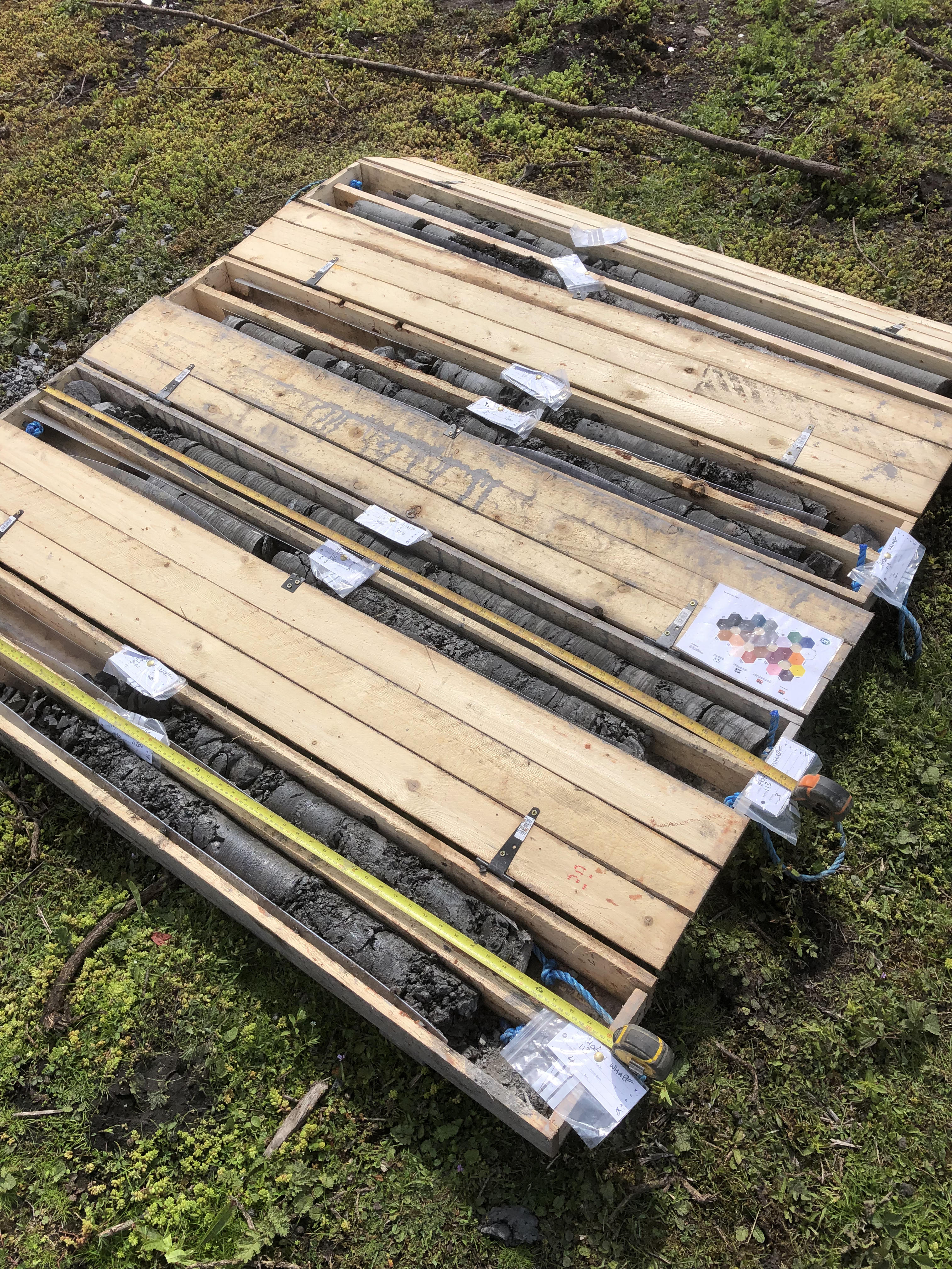
Coal Mining Risk Assessments
What is a Coal Mining Risk Assessment?
A coal mining risk assessment (CMRA) assesses the risk to a new development from historic coal mining activities.
Across the UK, there are over 40 different coalfields with well over 20,000 known historical collieries. The Coal Authority consider approximately 15% of these coalfields to be 'Development High Risk Areas'.
These high-risk areas have historical coal mining features with the potential to cause instability at the surface.
Within a high-risk area, a CMRA establishes if historical mining poses a risk to your specific site.
Why do you need a CMRA?
The Coal Authority is a statutory consultee on planning applications.
Therefore, a coal mining risk assessment will be essential for any proposed developments within a high-risk area.
In these high-risk areas, local councils may refuse or delay any application submitted without a CMRA.
Risks of historical coal mining:
There are numerous potential hazards that could be present on a site as a result of the UK's coal mining legacy.
These include:
- Abandoned shafts or historical mine entry points.
- Outcrops of workable coal seams.
- Historical shallow coal mine workings.
- Historical opencast (surface) mine workings.
- Geological faults and fissures.
- Mine gas emissions.
- Coal mining related subsidence.
- Coal spoil tips.
Assessment stages:
- Site Location - Is the site in a coal mining high risk area?
- Desk Study - Collect information from the Coal Authority to assess the possible risks associated with a site.
- Intrusive Investigation - If required, drill boreholes to assess if there are coal seams/shafts present beneath a site.
- Remediation - e.g. The stabilization of historical shafts through grout injection. Watching brief during site strip process to check for evidence of historical workings.
How much does it cost?
A desk based CMRA typically ranges in price from £1000 to £1500 depending on the size of the site.
More detailed intrusive investigations can vary in cost depending on a multitude of factors, including:
- Site location
- Site size and complexity
- Type of historical mining activity
- Type of investigation / drilling methodology required

TEC | Tweedie Evans Consulting Ltd
The Old Chapel, 35a Southover, Wells, Somerset, BA5 1UH, United Kingdom
TEC is an established consultancy offering expert geoenvironmental and geotechnical services across the UK. We offer a range of services including: site investigations, contaminated land risk assessments, geotechnical assessments/ground engineering and waste testing & classification.