Remediation Strategy
Remediation Strategy
Any unacceptable risks from contamination will need remediating to ensure the safety of future occupants. A Remediation Strategy is the third phase of the contaminated land assessment process.
These reports serve multiple purposes. Firstly, it functions as a summary of all previous phases of investigation and identified contaminants. Most importantly, it details exactly what remedial measures are necessary to break the identified contaminant linkages.
The remediation options presented can vary in complexity depending on the context of the site and the development.
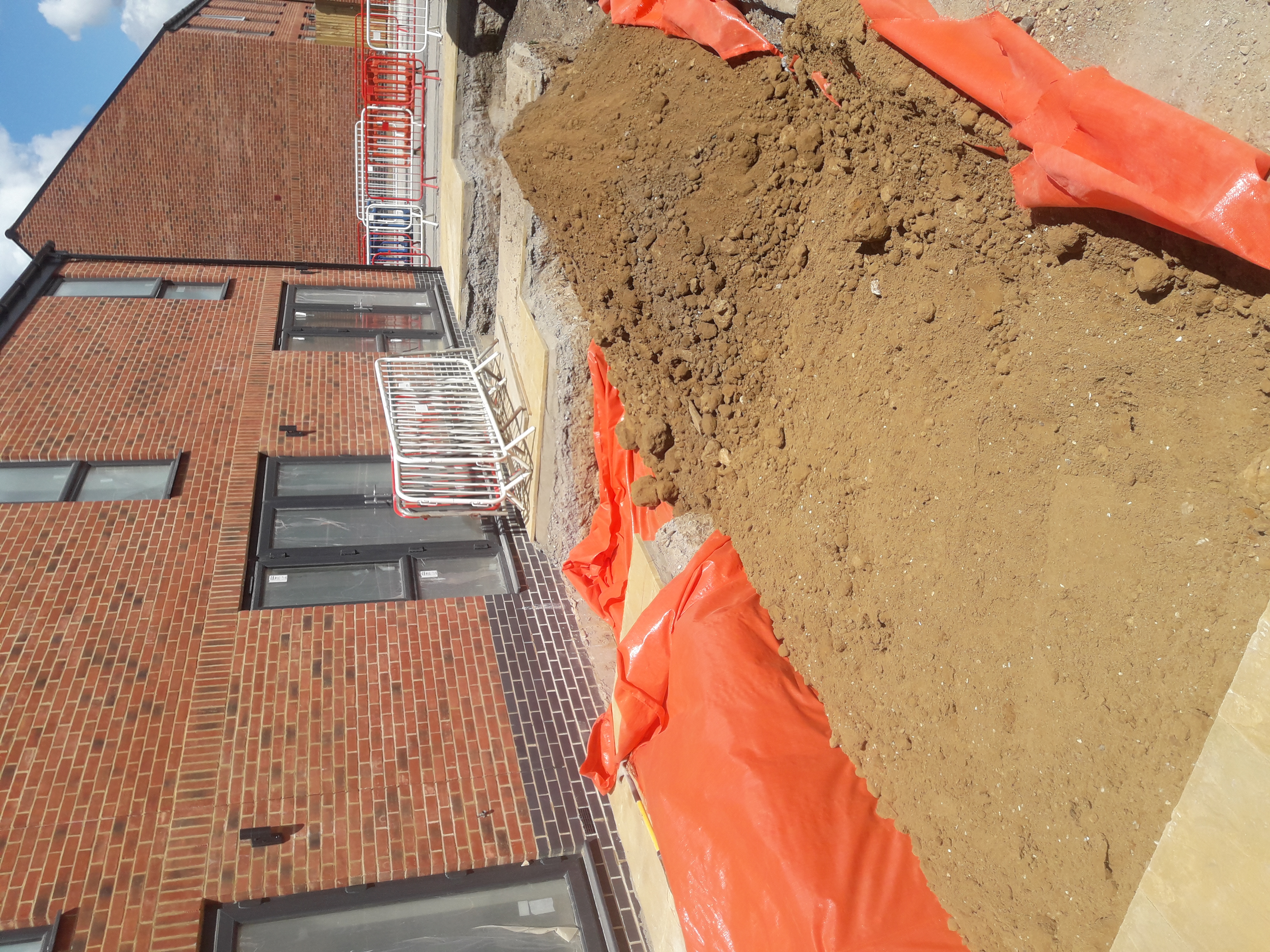
The most common form of remediation is also the simplest. It involves installing hardstanding such as concrete across the site. This acts a physical barrier that separates occupants from any contamination in the ground.
A suitable alternative for areas of soft landscaping is the clean cover system. This involves the removal of contaminated soils and replacement with clean sub-soils and topsoil. Again, this acts to prevent site occupants from having physical contact with contaminated soils.
For more complicated brownfield sites, remediation could include the removal of petrol storage tanks or in-situ soil treatment.
The remediation strategy also details what evidence is required to verify the success of the remedial measures.
Other Products and Services from TEC | Tweedie Evans Consulting Ltd
Phase I: Desk Study
Phase I: Desk Study
Why might you need a Desk Study?
- For submission at pre-planning application stage for a proposed development.
- To discharge an existing contaminated land planning condition.
- For submission to building control.
- To determine potential liabilities from contamination during a land sale.
What is a Desk Study?
A Phase I contamination assessment, or ‘Desk Study’ is the first stage of any contaminated land risk assessment. This preliminary assessment aims to highlight any potential risk that contaminated land poses to a proposed development.
A desk study compiles information about a site’s historical usage from multiple data sources including:
- Historical mapping
- British Geological Survey (BGS) mapping
- Historical BGS borehole records
- Groundwater maps
- Surface water maps
- Available Environment Agency datasets
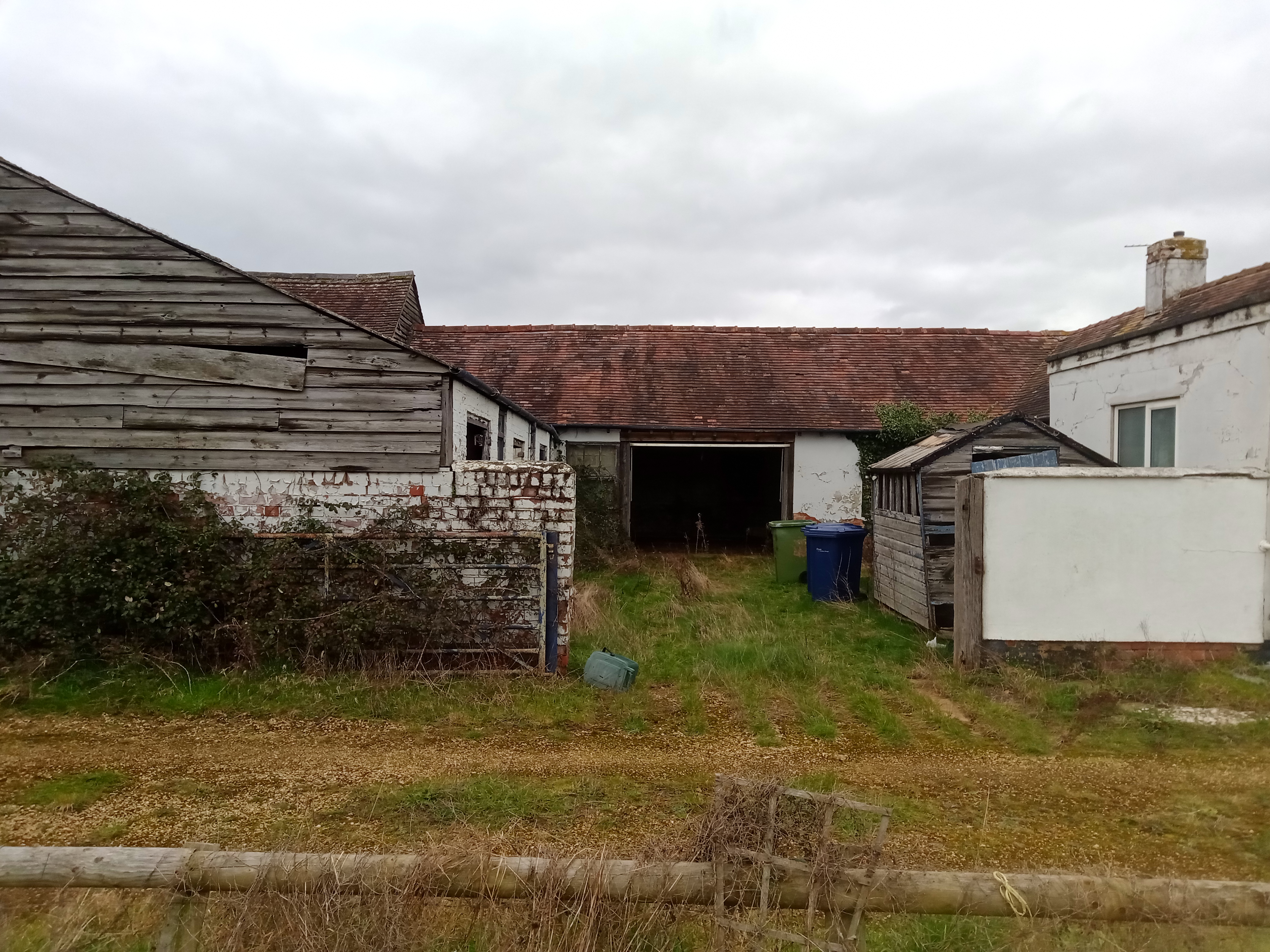
A key part of the Phase I assessment is the ‘walkover survey’ (or reconnaissance survey). This survey identifies any evidence of potential contamination on the site, for example, petrol storage tanks or oil spills.
Compiling all of this information allows the creation a 'conceptual site model' or CSM. A CSM identifies and summaries all of the likely contamination sources-pathway-receptor linkages present at a site.
What is a Conceptual Site Model?
For a risk from contamination to be present on site, there must be a source of contamination present on site (e.g. historically infilled land), a receptor at risk of harm (e.g. future residents) and a pathway or mechanism that connects them.
Sources
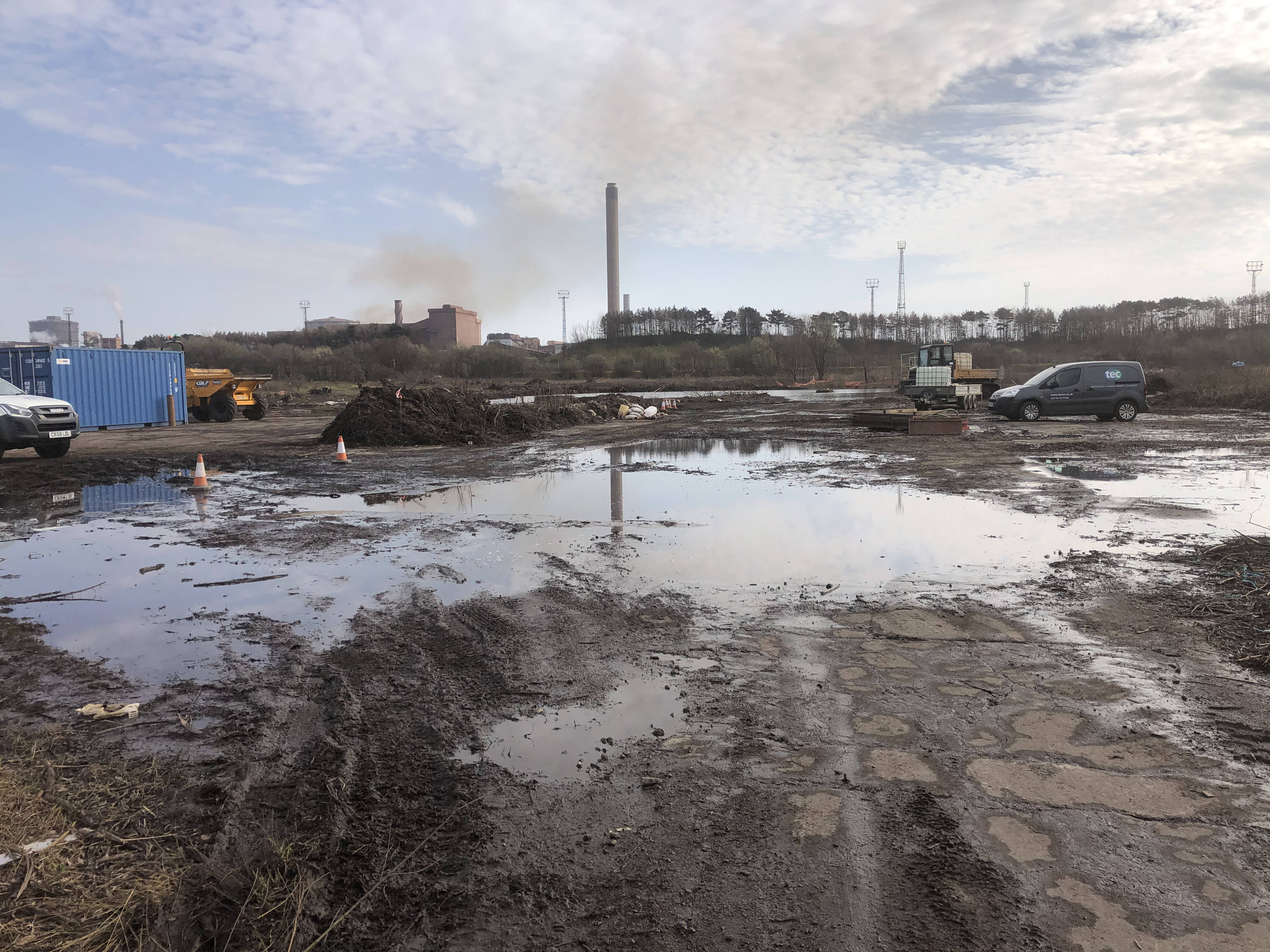
Given the UKs extensive industrial history, there could be any number of potential contaminant sources present at a site. Here are just a few we frequently encounter at TEC:
- Landfills
- Fuel storage.
- Metal refineries.
- Industrial factories and warehouse.
- Historical military camps and ammunition factories.
Receptors
A receptor is an individual or location that may at risk from contamination. The most commonly identified receptors are:
- Current and future human occupants of a site
- Environmental bodies (surface or groundwater)
- Ecology (plants and animals)
- Buildings or structures
Pathways
A pathway is a mechanism through which a receptor comes into contact with contamination. Whilst there are many potential pathways, the most common involve direct contact and ingestion of contaminated soils.
Geotechnical Assessments
Geotechnical Assessments
Here at TEC, we can design and undertake a range of site investigations and geotechnical assessments. Our aim is to always provide practical and economical ground engineering solutions for any project.
Geotechnical Site Appraisals (Desk Studies)
We can provide an initial appraisal of the potential risks arising from the ground conditions at a site. This can highlight any liabilities or significant costs associated with the purchase and development of a site.
A geotechnical desk study has many similarities to a contaminated land desk study. This report will compile background information relating to a sites geology and ground stability to provide a preliminary assessment of potential geotechnical issues.
A walkover survey of the site establishes whether there is evidence of ground movement that could impact a development.
Information from the desk study can inform the design of a site investigation to further assess any potential risk.
Foundation Design
From a ground investigation at a site, information on the geology can inform the most appropriate foundation solution.
In-situ soil and rock strength data obtained during the site investigation aids the development of a ground model. Data from the geotechnical laboratory can also be input into this model.
There are many different types of foundation that may be appropriate for a development. Conventional strip/pad footings may be suitable depending on the shallow ground conditions. Alternatively, if the ground is poor, then rafts or even piles may be necessary depending on the proposed structure.
Analysis of the ground model allows for the determination of the most appropriate type of foundation type. Ensuring that the soil has sufficient bearing capacity is vital in guaranteeing the long-term stability of a structure.
It is important to also assess how susceptible a soil is to settlement. This ensures that a structure remains serviceable throughout its lifetime. Failure to consider the potential for settlement can lead to subsidence and corresponding structural instability.
Slope Stability Assessment
The failure of a soil or rock slope can have serious implications. An assessment of the slopes stability is important if proposing to build in proximity to the slope crest.
Such an assessment usually involves an intrusive ground investigation to establish the underlying ground conditions. From this information, software analysis can assess the slopes condition and likelihood of failure.
There are many different ways to stabilise a failing slope. These can include changes to the slope angle, drainage works or reinforcement with bolts and anchors.
Soakaway Testing
A soakaway is a common method of disposing surface water runoff to the surrounding natural soils. Permeability testing to assess the water storage capacity of the surrounding soils is the first step in soakaway design.
There are several different methods to test the suitability of soakaways and foul water drainage systems. These include BRE Digest 365 tests, as well as percolation tests to NHBC and British Standards.
TEC have expertise in all of these methodologies, as well as the construction and testing of deep borehole soakaways.
Other Services
TEC can also provide a number of other geotechnical services, including but not limited to:
- Earthworks testing and classification. These tests assess the suitability for re-use of site won materials.
- Coal Mining Risk Assessments.
- Non-Coal Mining Risk Assessments.
- Solution Features Risk Assessments.
Contaminated Land Assessments
Contaminated Land Risk Assessment
To establish whether contamination is present at a site, the first step is to undertake an intrusive site investigation. The primary purpose of these investigations is to look at the underlying soil conditions to check for contamination.
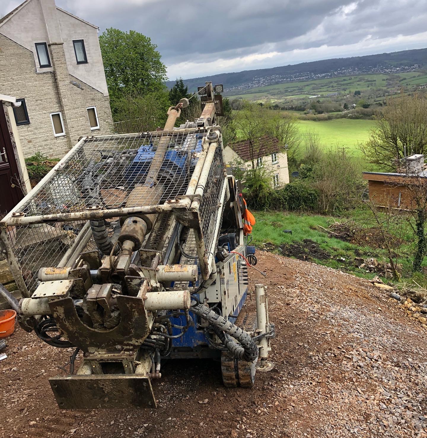
This is most commonly done through the excavation of trial pits or the drilling of boreholes. These methods allow for the collection of soil samples which is a critical part of the site investigation process. Laboratory testing of these samples forms the basis of the risk assessment process.
Human Health Risk Assessment
To ensure a site is safe for human occupation, any contaminant linkages from the Desk Study will need assessing.
Each soil sample will be tested at the laboratory for a suite of potential contaminants typically including:
- Heavy metals (e.g. arsenic)
- Polycyclic aromatic hydrocarbons (PAHs)
- Total petroleum hydrocarbons (TPH)
Analysis of the laboratory results will indicate whether contamination is present within the soils. The UK industry often calls this process a 'Generic Quantitative Risk Assessment' (GQRA).
The GQRA involves comparing the laboratory results with a set of standard values, or 'Generic Assessment Criteria'. These standard values represent levels of contaminants in the soil considered to be safe for human occupation.
If the lab reports soil levels in excess of the GAC then there may be an unacceptable risk from contamination. In this case, further assessment may be necessary, or alternatively remediation may be required.
Controlled Waters Risk Assessment
Contamination can also impact nearby surface water or groundwater (controlled waters).
A controlled waters risk assessment is similar to an assessment for human health in many ways. However, to assess the risk to water bodies, samples of the water will need testing at the laboratory.
By comparing the results to a set of water specific GACs it is possible to assess if contamination is present. Modelling of a sites groundwater levels can aid with establishing if there is a risk from contamination.
Should the risk from contaminated water be unacceptable then further assessment or remediation should be considered.
Ground Gas Risk Assessment
Hazardous ground gases can also pose a risk to future site occupants. Commonly occurring ground gases include carbon dioxide, methane and hydrogen sulphide. All of these can be either naturally occurring in the ground or generated from a man-made source (e.g. landfill).
Ground gases can potentially be toxic, asphyxiating and explosive if allowed to build up in sufficient quantities.
The best approach to gas risk assessment involves a robust desk-based approach and assessment of the underlying soils. However, for higher risk sites (e.g.historical landfills), it may be necessary to undertake a period of direct gas monitoring.
Analysis of the monitoring results allow the site to be assigned to a 'Characteristic Situation'. This designation then guides the selection of appropriate remedial measures (e.g. gas resistant membranes).

TEC | Tweedie Evans Consulting Ltd
The Old Chapel, 35a Southover, Wells, Somerset, BA5 1UH, United Kingdom
TEC is an established consultancy offering expert geoenvironmental and geotechnical services across the UK. We offer a range of services including: site investigations, contaminated land risk assessments, geotechnical assessments/ground engineering and waste testing & classification.