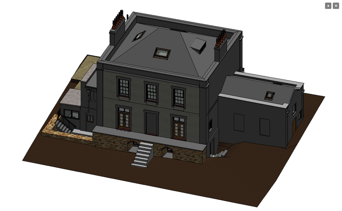
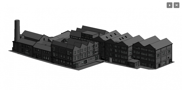
Rendered Model

Rendered Model

Rendered Model.

View Product on Company Website

Other Products and Services from South West Surveys

Heritage Elevations

Heritage Elevations

Heritage Elevations.

UAV / Drone Surveys

UAV / Drone Surveys

At South West Surveys we run our own in-house drone operations with fully insured, CAA approved pilots.

Drones are a fantastic tool to our surveying arsenal, collecting data from otherwise out of reach places and areas of high risk such as railways, motorways, dilapidated structures or small islands. Covering large areas of land, from open farmland to woodland, our lidar system can penetrate tree canopies and map the ground beneath. Drones can provide you with a wealth of data including plant health and vigour, weed location and density, precise area measurements and elevation changes across your land.

Using our 42mp camera we can provide a set of jpg images, which can also be supplied as a rich 3d pointcloud. This can be for sites in their entirety, or to complete pointcloud datasets where a terrestrial laser scanner would not reach.

Land & Topographic Surveys

Land & Topographic Surveys

A Topographical or ‘topo’ survey, also known as a land survey, provides an accurate representation of natural and manmade features within a specified area. They are usually completed by using a range of specialist surveying equipment that can be used to measure and identify angles and distances effectively.

To obtain precise measurements, we use GPS survey equipment in order to locate fixed points of an area of land. These points are used as reference markers, and they are used to demonstrate the height and base of the specified area. With these markers you can produce a CAD (computer-aided-design) drawing, which illustrates a highly detailed and accurate topographical map of your land.
South West Surveys Logo 001

South West Surveys

28 Rudgeway Park, Rudgeway, Bristol, Gloucestershire, BS35 3RU, United Kingdom

South West Surveys provides surveying services across commercial, industrial, residential, and local government sectors. Our extensive portfolio includes diverse projects from residential renovations to prestigious heritage sites. We specialise in producing as-built 3D models for BIM and visualisation purposes. Our expertise extends to modelling pump houses and converting laser scans of listed statues into solid mesh models. Collaborating with architects, town planners, engineers, and private clients, we employ advanced equipment like Trimble robotic total stations and 3D laser scanners.