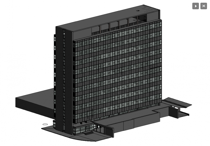
Office Block
Office Block.
Other Products and Services from South West Surveys
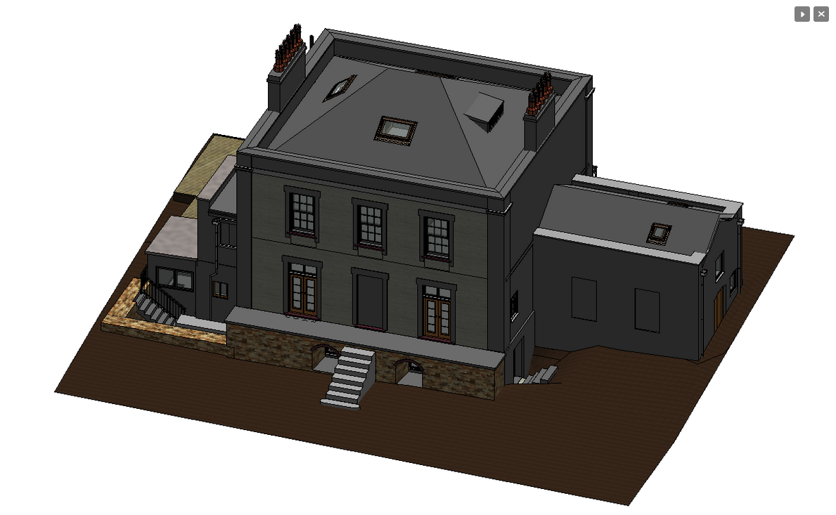
Rendered Model
Rendered Model.
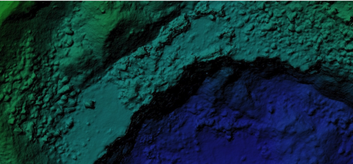
Aerial Lidar & Mobile Mapping Surveys
We use multi-rotor drones and have the ability to mount our sensors on vehicles.
One of our professionally trained and experienced UAV pilots and surveyors will carry out a LiDAR survey for the mapping of land, property and infrastructure. LiDAR surveys enable us to produce Digital Terrain Models which is often unachievable with photogrammetry methods, especially around vegetated areas.
LiDAR gives the operator the ability to rapidly survey both small-scale and large-scale areas in a more cost-effective way. A LiDAR system can often be much safer to use when surveying areas such as highways, railway lines and powerlines. A mobile mapping system eliminates any risks during the survey and can allow data to be captured remotely.
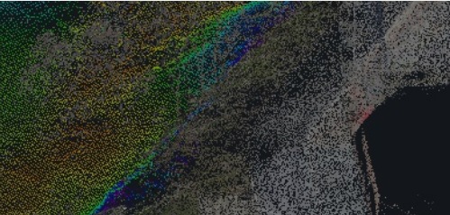
Bathymetry Survey
We use a multitude of data collection methods to produce the best possible results, these range from total stations, GPS, LIDAR & USV (unmanned surface vehicles) to multibeam echosounders.
Using these specialist surveying equipment, we can accurately plot the positions of watercourses, watercourse structures and nearby topographic detail. These surveys will be used for a variety of applications such as planning, design work, maintenance, flood risk assessment, ecology management and hydraulic modelling.

South West Surveys
28 Rudgeway Park, Rudgeway, Bristol, Gloucestershire, BS35 3RU, United Kingdom
South West Surveys provides surveying services across commercial, industrial, residential, and local government sectors. Our extensive portfolio includes diverse projects from residential renovations to prestigious heritage sites. We specialise in producing as-built 3D models for BIM and visualisation purposes. Our expertise extends to modelling pump houses and converting laser scans of listed statues into solid mesh models. Collaborating with architects, town planners, engineers, and private clients, we employ advanced equipment like Trimble robotic total stations and 3D laser scanners.