Verified View Surveys
Verified views offer an accurate visual representation of a proposed site and are often requested by the planning authority to support applications for developments.
Using our Leica total station we provide coordinates and levels for the camera positions and then known ‘key’ reference points seen in the photo to enable these photos to be altered accurately.
These surveys are a great way to accurate visualise the impact a new proposed development may have on the surrounding land or to simple see how the proposed site would fit in with the surrounding area.
Other Products and Services from CD Surveys Ltd
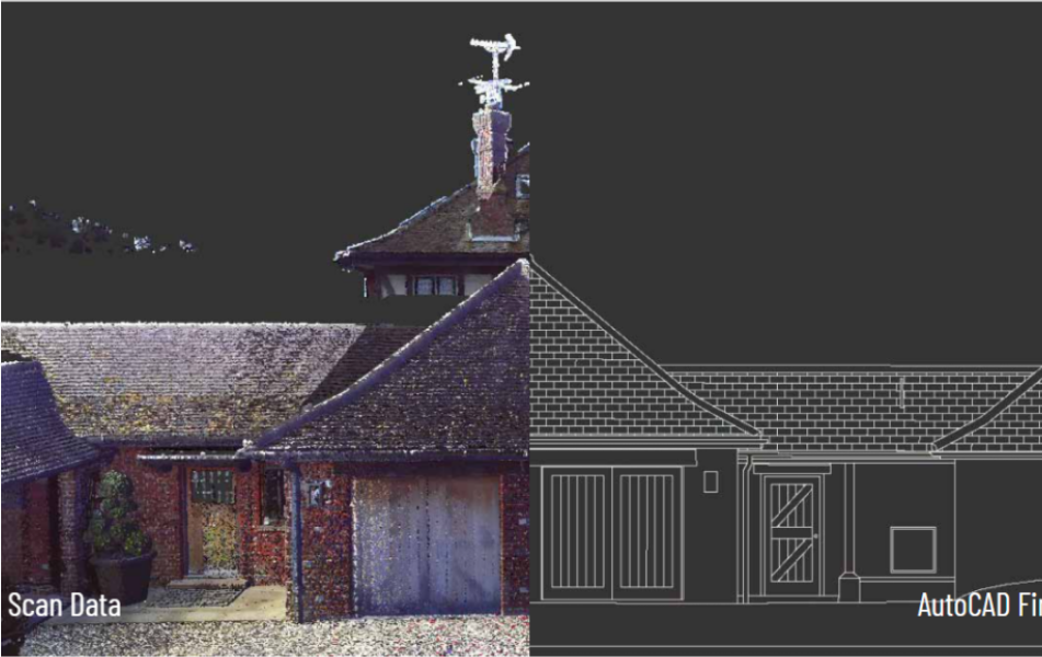
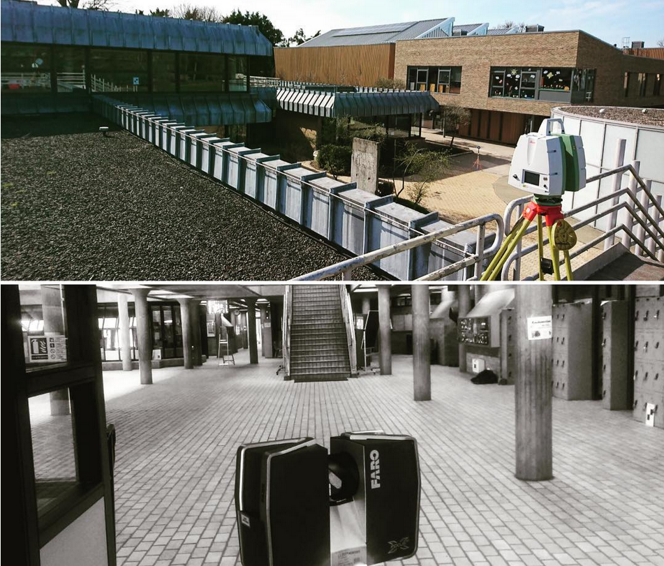
Building Elevations
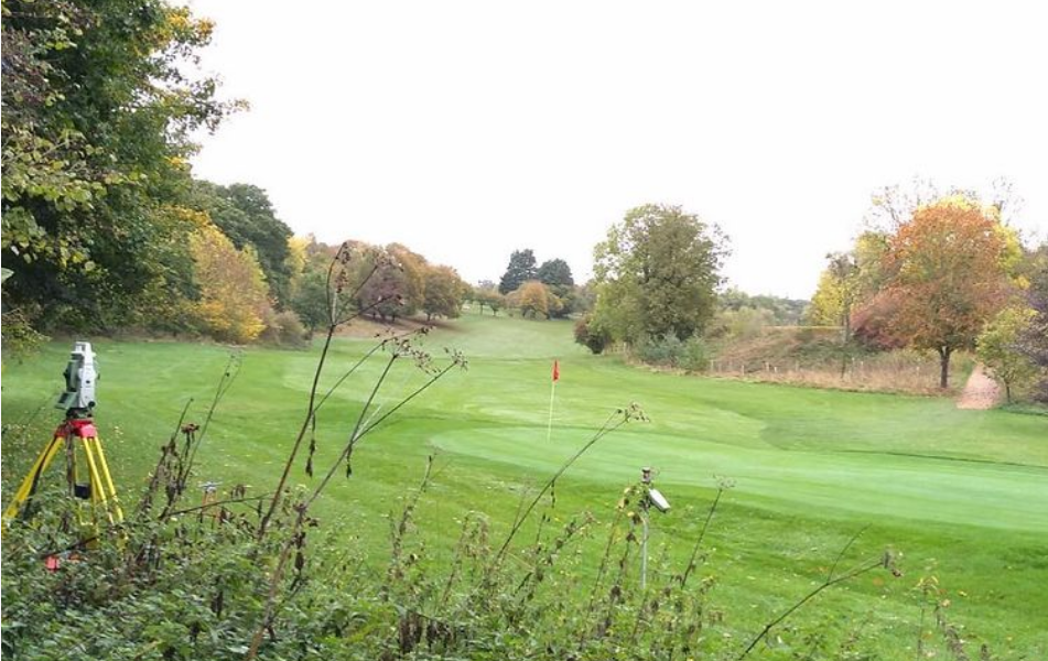
Topographical Surveys
We carry out all topographical surveys in accordance with the standard ‘Topographical Survey Specifications’ as set by The Royal Institution of Chartered Surveyors (RICS), the Land Surveyor and the Architect (LSA) and the Manual of Contract Documents for Highways Works, Volume 5, Section 1, Highway Agency and Department of Transport.
CD Surveys Ltd is a proud member of the TSA (The Survey Association) with our chairman, David Watterston a member of the board of directors. For more information regarding Topographical Surveys or to understand what a topographical survey is please follow the link below to the TSA website for more information. www.tsa-uk.org.uk
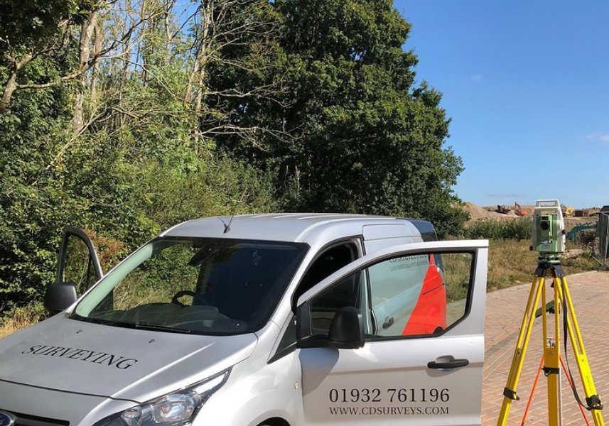
Site Engineering

CD Surveys Ltd
Pentire Stable, Fordbridge Road, Sunbury On Thames, Middlesex, TW16 6AX, United Kingdom
CD Surveys Ltd are a Middlesex-based surveying and engineering company specialising in architectural solutions for interior and exterior structures. Specialising primarily in land surveying, site engineering, measured building surveying and 3D laser scanning, our company has an impressive wealth of experience in professional surveying and consultancy for commercial and industrial projects. We are a very customer-focused company providing professionalism and efficiency across all applications, working closely with all clients to ensure that they receive excellent service.