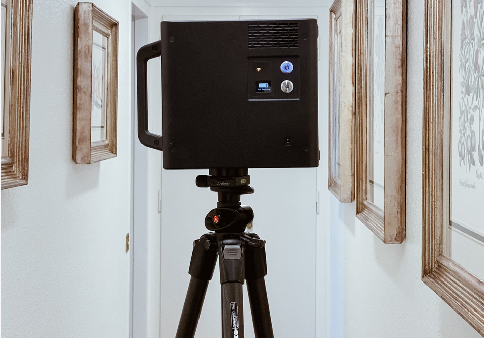
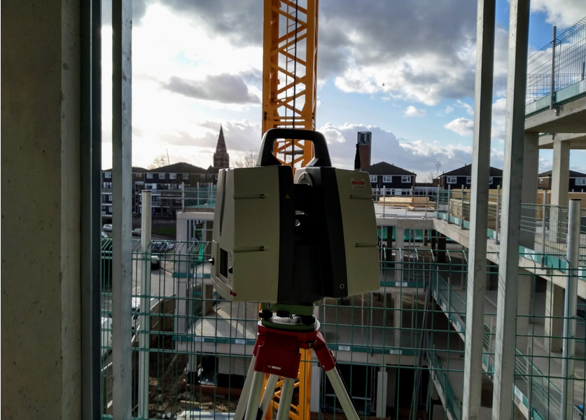
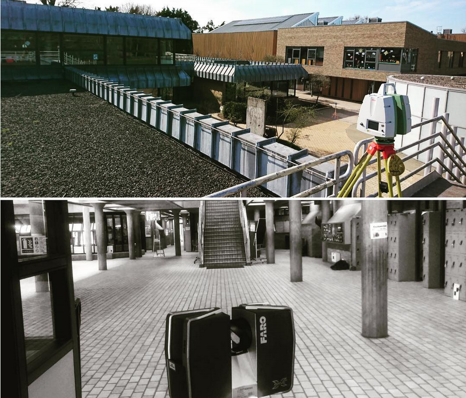
3D Laser Scanning
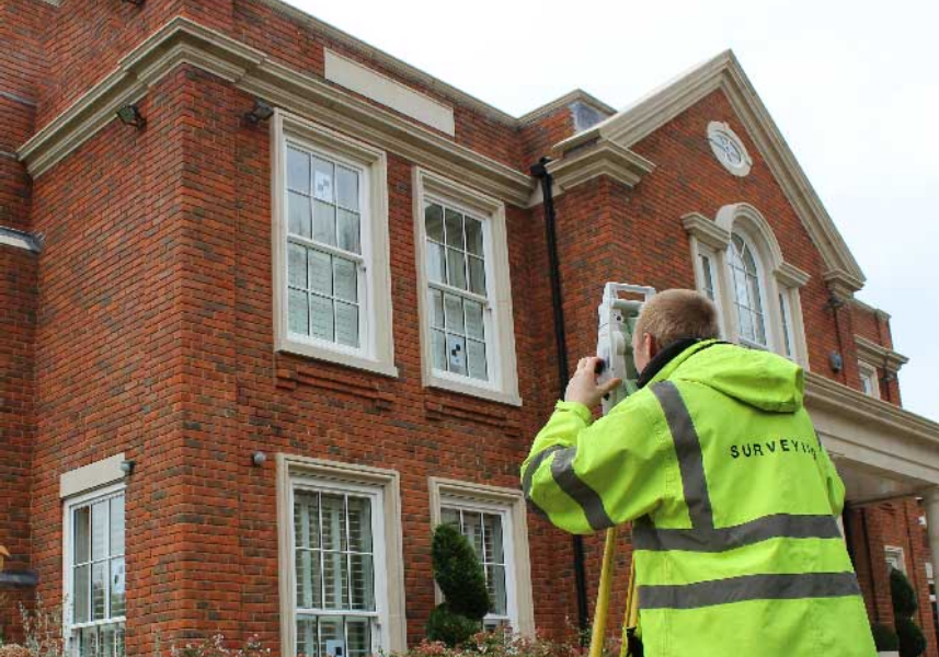
Using either our Leica P40 scanner or our FARO X 130 3D scanner enables us to record information from site accurately and quickly and in a format that can easily be transferred into design drawings.
Our specialist team of experienced surveyors are able to capture data at a rate of up to 1 million points per second, as a result measurements can be made quickly and easily without return visits to site.
We currently offer the use of the laser scanner for various different services:
Detailed measured building surveys
Street scene elevation surveys
Highway surveys
As-Built surveys
Monitoring
Heritage scanning for posterity
Inaccessible and hazardous locations
We can present the data to you in the following formats:
2D drawings (Elevations, Cross Sections, Floor Plans)
Point Cloud
3D Model
BIM / Revit Models
Other Products and Services from CD Surveys Ltd
Contour Surveys
‘As Built’ Surveys
A subset of the layout of buildings, but fundamentally distinct, piles are the stress points of any good design and precise location is crucial and cannot simply be corrected at a later stage. Naturally we take great care with all our work and consider thorough checking of all work and data to be a large part of the finished process. For this we prefer to have access to all electronic data from the architects and consulting engineers to verify that all the information “fits” together before we go to site.
Topographical Surveys
We carry out all topographical surveys in accordance with the standard ‘Topographical Survey Specifications’ as set by The Royal Institution of Chartered Surveyors (RICS), the Land Surveyor and the Architect (LSA) and the Manual of Contract Documents for Highways Works, Volume 5, Section 1, Highway Agency and Department of Transport.
CD Surveys Ltd is a proud member of the TSA (The Survey Association) with our chairman, David Watterston a member of the board of directors. For more information regarding Topographical Surveys or to understand what a topographical survey is please follow the link below to the TSA website for more information. www.tsa-uk.org.uk

CD Surveys Ltd
Pentire Stable, Fordbridge Road, Sunbury On Thames, Middlesex, TW16 6AX, United Kingdom
CD Surveys Ltd are a Middlesex-based surveying and engineering company specialising in architectural solutions for interior and exterior structures. Specialising primarily in land surveying, site engineering, measured building surveying and 3D laser scanning, our company has an impressive wealth of experience in professional surveying and consultancy for commercial and industrial projects. We are a very customer-focused company providing professionalism and efficiency across all applications, working closely with all clients to ensure that they receive excellent service.